Houston • The Suburbs • The Lifestyle • The Real Estate
Moving to Houston? Start Here.
Your complete guide to Houston and its surrounding suburbs. Discover where to live, what homes cost, what to expect, and how to make your move with confidence.
Presented by Michael O’Neal, Broker, The Michael O’Neal Group
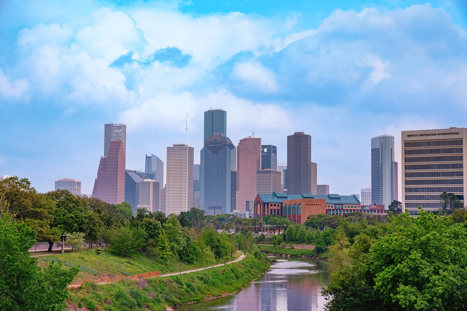
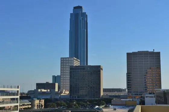
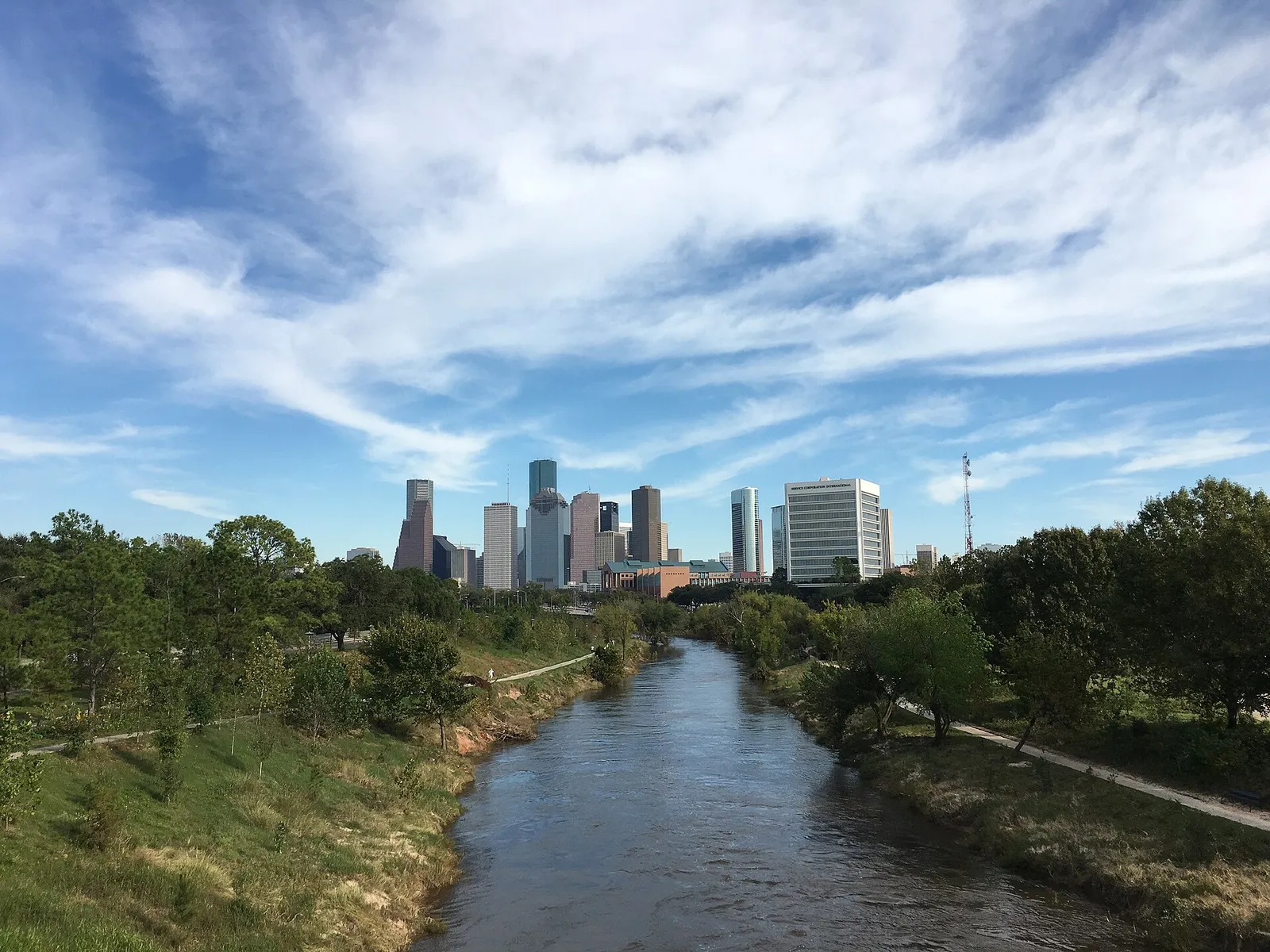
Greater Houston: the downtown Houston skyline from Buffalo Bayou. Photo: Tony Webster, CC BY 2.0, via Wikimedia Commons.
Greater Houston community map
Discover Greater Houston
One City. Incredible Communities. Find Where You Belong.
From the skyline of Downtown Houston to the wooded neighborhoods of Kingwood, the waterfront lifestyle of Clear Lake, and the master-planned communities surrounding the city, explore what makes each part of Greater Houston unique.
Tap a Community to Explore Its Lifestyle, Homes and Neighborhoods.
Loading the map of Greater Houston
Tap a photo to explore a community
3D view: drag with the right mouse button, or two fingers, to tilt and turn. Buildings come from OpenStreetMap.
The interactive map needs WebGL, which this browser has turned off. Here is the region map instead.
Explore by region
Pick a part of Houston
Select a region to see its communities, or tap any dot on the map to open that community’s guide.
Boundaries, highways and water: U.S. Census Bureau: 2024 cartographic boundary file (counties, 1:500,000) and 2024 TIGER/Line primary and secondary roads and area water. Dots are approximate community centers, not boundaries. Squares mark major job centers and airports.
Before you choose a suburb, get to know the region you are moving to: where people work, how they get around, what the weather does and what owning a home here costs.
The Houston region had about 3.5 million jobs at the end of 2025. Energy, health care, the port, aerospace and manufacturing anchor the economy, and the work is spread across several large business districts.
3.5 million jobs
A 3.5 million job region
The Greater Houston Partnership reports that regional employment grew to about 3.5 million jobs at the end of 2025. The same report counts 27 Fortune 500 headquarters in the region, based on 2024 financial filings.
The Partnership's energy table counts 4,239 firms and 221,947 workers in select energy and related industries as of the fourth quarter of 2025. It also lists a regional crude operating capacity of 2.6 million barrels per calendar day in 2025.
The Partnership counts 443,370 people working in health care and social assistance in the region. The Texas Medical Center alone lists more than 120,000 employees.
Port Houston operates eight public facilities along the 52-mile Houston Ship Channel, which also has more than 200 private terminals. The port reports 220.1 million short tons of foreign waterborne cargo in 2024 and 1.89 million jobs supported across Texas.
NASA's Johnson Space Center is home to the astronaut corps and Mission Control, and NASA lists a workforce of more than 12,000 people there. The Partnership counts 500 plus aerospace and aviation companies and institutions and 43,128 aerospace and aviation professionals in the region, plus the FAA-licensed Houston Spaceport.
Manufacturing employed 236,659 people in the region in 2025, according to the Partnership, which also counts 706 chemical plants employing 42,337 people. ExxonMobil's Baytown complex alone covers 3,400 acres on the Ship Channel with about 7,000 workers.
Uptown, home of The Galleria, lists more than 28 million square feet of office space and about 2,000 companies. The Energy Corridor District reports 24.7 million square feet of office space and a daytime population of about 73,000, and the Westchase submarket has 18.4 million square feet of office inventory. The Woodlands reports nearly 72,000 jobs, and the City counts Greenway Plaza with Downtown and the Medical Center as the three major job centers inside Loop 610.
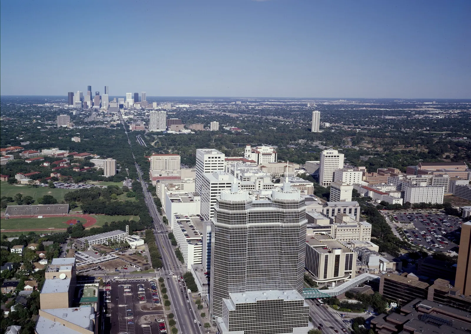
Texas Medical Center from the air, with downtown Houston beyond. Photo: Carol M. Highsmith, Public domain, via Wikimedia Commons. Illustrative photo of the area.
Houston 02
The Texas Medical Center
The Texas Medical Center sits just south of the Museum District and is a major employment center. Its own figures describe the scale.
54 million sq ft
Size
TMC reports 54 million developed square feet. Its TMC Helix Park is a 37-acre campus with the TMC3 Collaborative Building and six parks.
TMC reports roughly 10 million patient encounters a year, about 750,000 emergency room visits and 10,000 patient beds. It also lists more than 180,000 surgeries and about 26,280 births a year.
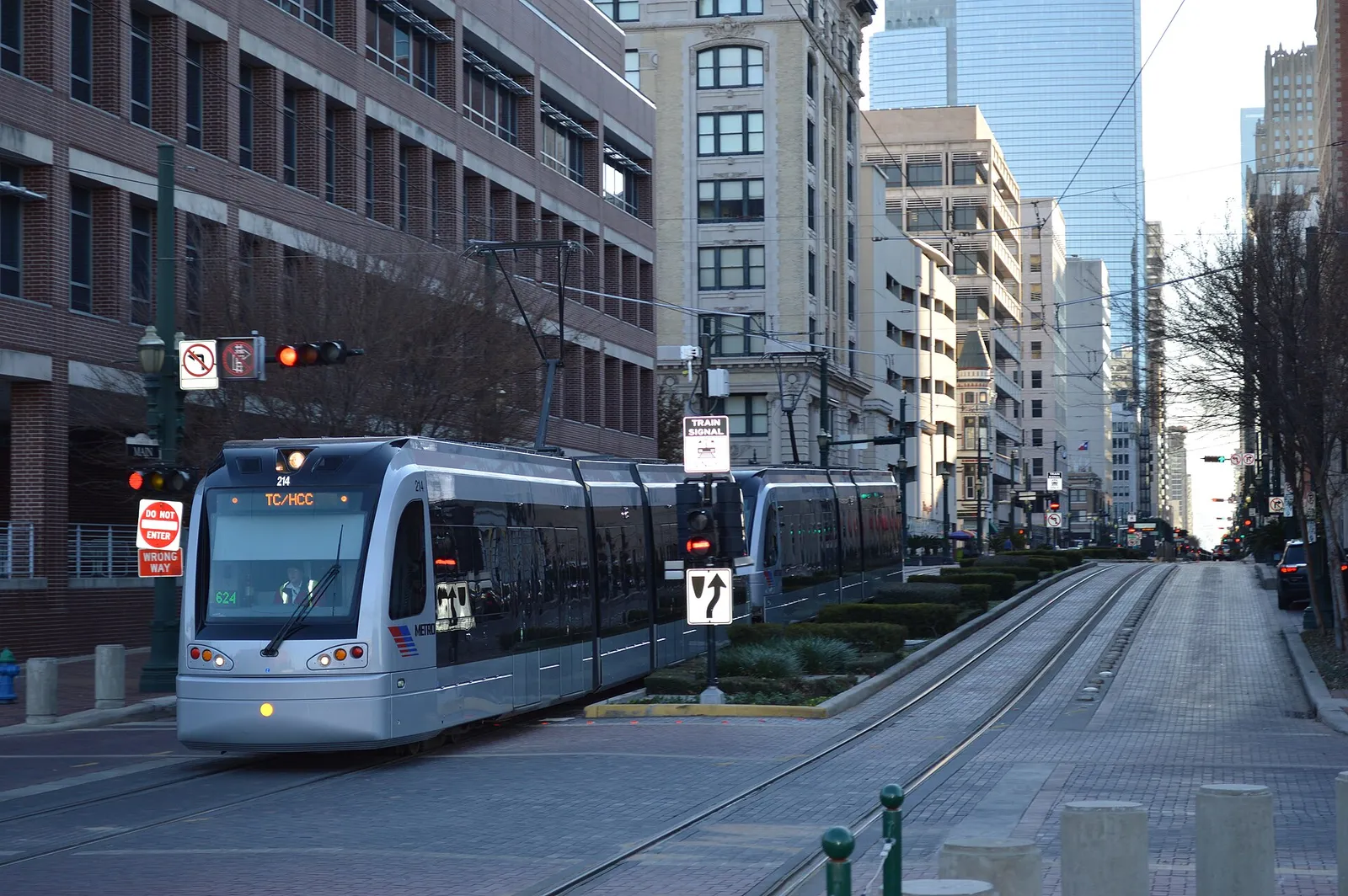
METRORail's Red Line serves the Medical Center at the TMC Transit Center and Dryden/TMC stations, and Park & Ride routes such as 297 Gulf Freeway/TMC and 298 Katy Freeway/TMC run to the campus.
METRORail light rail in downtown Houston. Photo: Agsftw, CC BY-SA 3.0, via Wikimedia Commons. Illustrative photo of the area.
Houston 03
Downtown Houston and the Energy Corridor
Downtown is the region's traditional office core and a growing place to live. The Energy Corridor along I-10 west is a second large office district with its own management district.
10,140 residents
Living downtown
Downtown Houston reports about 10,140 residents inside the Downtown District boundaries and more than 68,000 across greater downtown. It counts more than 250 bars and restaurants.
Downtown's tunnels run more than six miles, about 20 feet below the streets, and connect 95 city blocks. Most tunnels close by 6 p.m. and are closed evenings and weekends.
Discovery Green is a 12-acre downtown park at 1500 McKinney St. that opened in April 2008 as a public-private partnership between the City and the Discovery Green Conservancy. It reports more than 20 million visitors since opening.
Houston First describes the downtown Theater District as 17 blocks with nine professional performing arts organizations. The Greater Houston Partnership says its five flagship theaters hold 13,000 seats.
More about Downtown Houston and the Energy Corridor (2)
24.7 million sq ft of office
The Energy Corridor District
The State of Texas created The Energy Corridor District in 2001. In June 2026 the district reported 24.7 million square feet of office space and named Baker Hughes, BP America, CITGO, ConocoPhillips, Enbridge, Fluor and Shell among its major employers.
Harris County Precinct 4's George Bush Park covers 7,800 acres inside Barker Reservoir with 11.36 miles of trail, and Terry Hershey Park runs along about 6 miles of Buffalo Bayou with 11.05 miles of hike and bike trail.
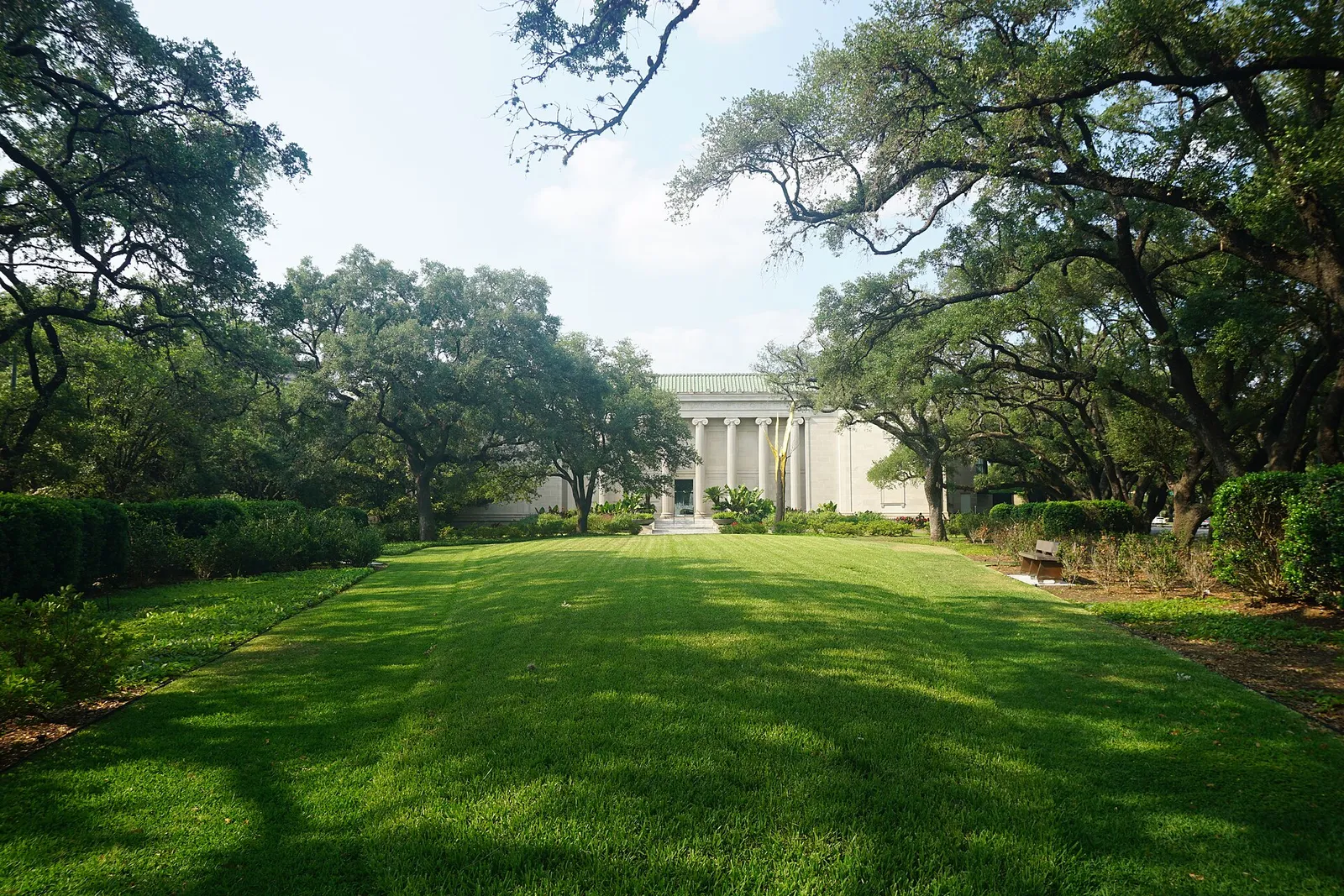
Museum of Fine Arts, Houston, Museum District. Photo: Michael Barera, CC BY-SA 4.0, via Wikimedia Commons. Illustrative photo of the area.
Houston 04
Food, Culture and Sports
Houston's culture shows up in its restaurant count, its museum and theater districts, the languages spoken at home and a full slate of major league teams.
13,492 food and drink establishments
Restaurants
The Greater Houston Partnership counts 13,492 food service and drinking places in the region with about 292,000 employees.
City of Houston planning tables from the 2020-2024 American Community Survey show 37% of residents age 5 and older speak Spanish at home and about 10% speak another language besides English, while 53% speak only English.
The Mayor's Office of Trade and International Affairs is the first point of contact for the more than 90 members of Houston's Consular Corps. The Greater Houston Partnership lists consulates or honorary consuls from 86 nations.
Houston First says the Museum District holds 19 museums, arts and cultural organizations within nine square miles, including the Museum of Fine Arts, Houston, the Houston Museum of Natural Science, the Children's Museum and The Health Museum. The Menil Collection and Rothko Chapel are on the same list.
The City notes Houston is one of the few U.S. cities with resident companies in theater, ballet, symphony and opera, and that the arts generate more than $1.3 billion in annual economic activity.
The Astros play at Daikin Park, the name since Jan. 1, 2025. The Texans and the Houston Livestock Show and Rodeo use NRG Stadium, the Rockets play at Toyota Center, and the Dynamo and Dash share Shell Energy Stadium.
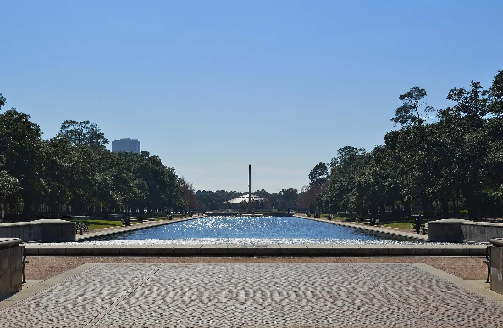
Mary Gibbs and Jesse H. Jones Reflection Pool, Hermann Park. Photo: Agsftw, CC BY-SA 3.0, via Wikimedia Commons. Illustrative photo of the area.
Houston 05
Parks, Lakes and Golf
The City of Houston counts 720 parks on 43,153 acres, and the region adds two large reservoirs and Galveston Bay. Here is what the official numbers say.
150 miles of trails
Bayou Greenways
The Houston Parks Board's Bayou Greenways program describes 150 miles of trails and 3,000 acres of greenspace along Houston's bayous. It says 1.5 million Houstonians will live within 1.5 miles of a greenway.
Memorial Park covers 1,500 acres, and the Memorial Park Conservancy maintains 1,100 of them. The Conservancy reports 4 million visitors a year from 170 ZIP codes.
Buffalo Bayou Park covers 160 acres from Shepherd Drive to Sabine Street, between Allen Parkway and Memorial Drive, and officially opened in October 2015. The Cistern, a 1926 underground reservoir, is now open to visitors.
George H. Hermann donated 285 acres for Hermann Park in 1914, and the park holds the Houston Zoo on 55 acres, Miller Outdoor Theatre, McGovern Lake and a 5-acre Japanese Garden. The Conservancy reports about six million visitors a year.
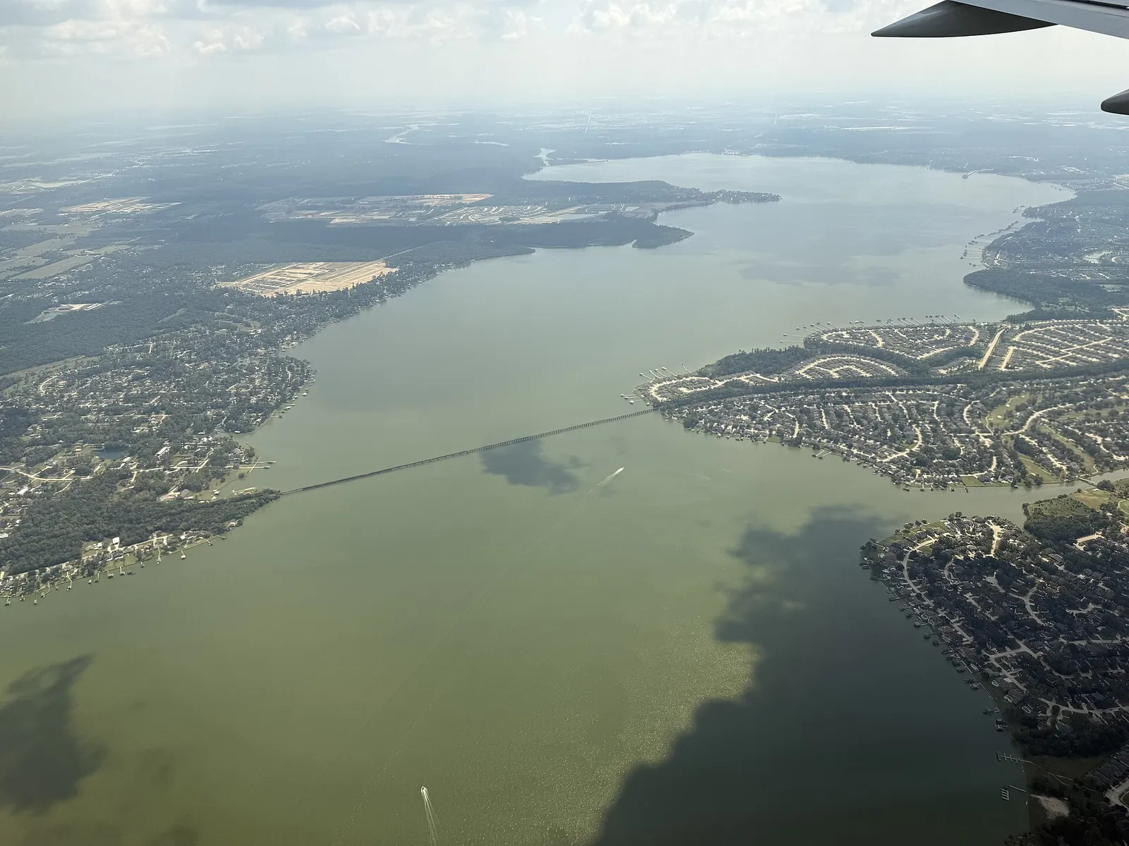
Lake Houston, owned by the City of Houston on the San Jacinto River, covers 11,282 acres. Lake Conroe, on the West Fork of the San Jacinto, covers about 19,640 acres and was built by the San Jacinto River Authority and the City of Houston as a water supply reservoir.
Houston Parks and Recreation lists five municipal golf courses: Memorial Park, Sharpstown Park, Hermann Park, Gus Wortham Park and Melrose Park. Hermann Park's course closed in fall 2025 for a two-year, $30 million renovation.
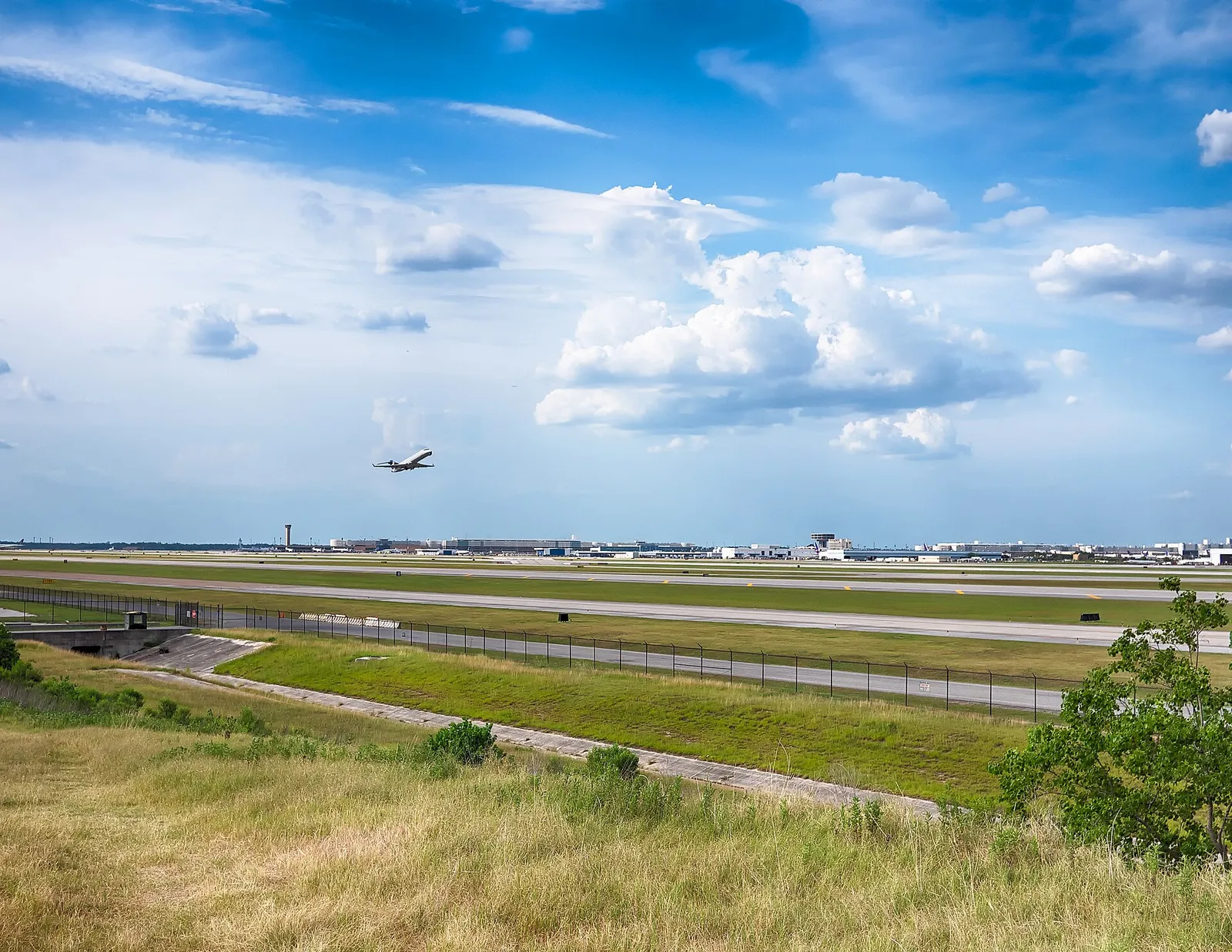
Runways at George Bush Intercontinental Airport. Photo: Thomas Wang, CC BY-SA 3.0, via Wikimedia Commons. Illustrative photo of the area.
Houston 06
Getting Around
Two commercial airports, a large freeway and toll road network, light rail and Park & Ride buses move people around the region.
62.1 million passengers
Two airports
Houston Airports served 62.1 million passengers in 2025: 48 million at George Bush Intercontinental (IAH) and 14 million at William P. Hobby (HOU). The system lists 29 airlines and more than 200 nonstop destinations in 2026, 72 of them international.
TxDOT lists the toll operators: HCTRA (Hardy Toll Road, Westpark Tollway, Sam Houston Tollway Northeast, Tomball Tollway, Katy Managed Lanes), the Fort Bend County Toll Road Authority (Fort Bend Parkway, Westpark Tollway and Grand Parkway Segment D), Brazoria and Montgomery county authorities and TxDOT itself. EZ TAG and TxTag are accepted.
METRO runs three light rail lines. The Red Line is a 13-mile line serving downtown, Midtown, the Museum District, the Medical Center and NRG Park, and the Green and Purple lines serve the East End, the University of Houston and Third Ward.
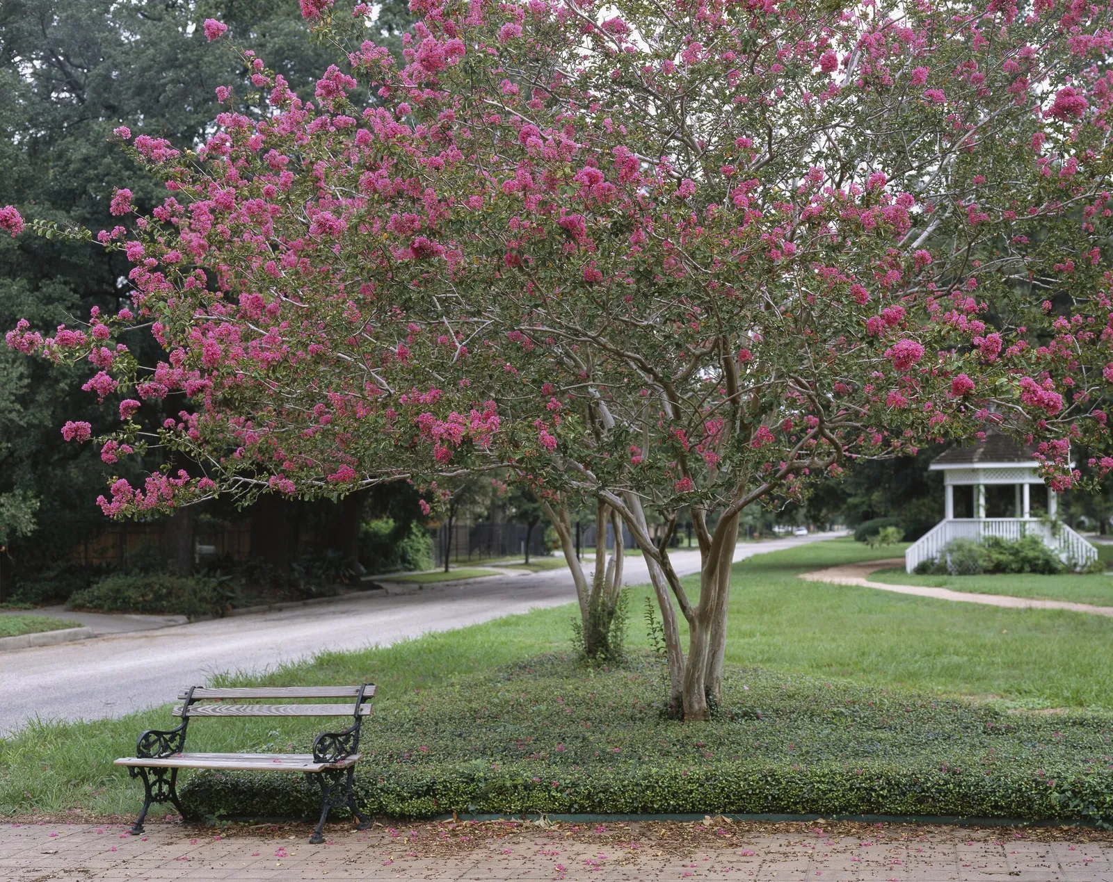
Heights Boulevard esplanade park, Houston Heights. Photo: Carol M. Highsmith, Public domain, via Wikimedia Commons. Illustrative photo of the area.
Houston 07
Urban, Suburban or Rural
Greater Houston offers townhomes on small Inner Loop lots, large master-planned communities and acreage in the outer counties. The City of Houston has no zoning, so the rules depend on where a property sits.
No zoning in the City of Houston
The City's Planning and Development Department says Houston is not a zoned city and that development is governed by codes on how property can be subdivided. It adds that deed restrictions are the only tool that restricts land use, and not all areas are deed restricted.
The City Legal Department helps enforce recorded deed restrictions at no charge to the person who complains. Copies come from the county clerk in the county where the property sits.
Inside Loop 610 the City allows a minimum lot size of 1,400 square feet in certain situations. HAR's 2025 facts for Modern Midtown show a median lot of 1,450 sq ft, the footprint of a multi-story townhome.
Separate cities inside the region set their own rules. Bellaire, for example, places single-family homes in one of four residential zoning districts based on lot dimensions.
Much suburban growth comes in large planned communities. Bridgeland in Cypress covers about 11,500 acres with 250 miles of trails, and The Woodlands Township lists 151 parks and 220 miles of pathways.
HAR's 2025 facts show a median lot of 88,462 sq ft in High Meadow Ranch near Magnolia and 55,757 sq ft in the original Fulbrook in Fulshear, compared with about 7,500 sq ft in West University Place and Bellaire.
Houston's extraterritorial jurisdiction reaches about five miles past city limits into Harris, Fort Bend, Liberty, Montgomery and Waller counties. The City says these areas are not subject to its permitting and building inspection rules.
Houston has mild winters, hot summers and about 52 inches of rain in a normal year. Hurricane season and flood insurance deserve attention before you move.
51.84 inches of rain a year
Climate normals
At Bush Intercontinental, the 1991-2020 normals are a 63.8°F high and 43.7°F low in January and a 94.9°F high and 75.4°F low in August. Normal yearly rainfall there is 51.84 inches.
The National Hurricane Center says the Atlantic hurricane season runs June 1 to November 30. The peak is September 10, with most activity from mid-August to mid-October.
Harris County Homeland Security and Emergency Management's ReadyHarris site offers alert sign-ups, the hurricane evacuation zone map and an emergency kit checklist. The Texas Division of Emergency Management runs STEAR, a free registry that gives local planners and responders information about residents who may need extra help.
The Harris County Flood Control District, created in 1937, says a major flood occurs somewhere in Harris County about every two years and that you do not need to live near water to be flooded. Its Flood Education Mapping Tool shows floodways, the 1% and 0.2% floodplains and coastal floodplains.
More about weather, hurricanes and flood preparedness (2)
Check the FEMA map for any address
FEMA's Flood Map Service Center is the official public source for flood hazard information and searches by address. A property's own history, such as the seller's disclosure and any elevation certificate, matters as much as the map.
FEMA says there is typically a 30-day waiting period from purchase before a National Flood Insurance Program policy takes effect, with some exceptions. The Texas Department of Insurance notes most home policies do not cover floods.
Texas has no state income tax, so local property taxes carry more of the load. Insurance on the coast works differently than inland.
0% state income tax
No state income tax
The Texas Comptroller's tax guide says Texans pay federal income taxes but not state or local income taxes. The state sales and use tax is 6.25%, and local rates can add up to 2%.
Texas has no state property tax; local units such as cities, counties, school districts and special districts set rates. Values are set as of January 1, most protests are due by May 15, and tax bills go out around October 1.
School districts must give a $140,000 exemption on a residence homestead, plus another $60,000 for owners 65 or older or disabled. Owners apply with the county appraisal district, such as HCAD in Harris County, generally before May 1.
Many suburban homes sit in a municipal utility district, which provides water, wastewater and drainage and can levy its own tax. Most districts must give buyers a notice to purchaser that the seller usually provides at contract.
More about taxes, insurance and cost of living (2)
14 coastal counties
Windstorm coverage near the coast
TWIA provides wind and hail coverage in 14 first-tier coastal counties, including Galveston, Brazoria and Chambers, and in parts of Harris County east of SH 146 in Pasadena, Morgan's Point, Shoreacres, Seabrook and La Porte. A structure needs a TDI certificate of compliance (WPI-8) to be eligible.
Citing the C2ER Cost of Living Index, the Greater Houston Partnership reports Houston's living costs 6.3% below the national urban average. The Bureau of Economic Analysis puts the Houston metro's 2024 regional price parity at 98.6, against a national level of 100.
Where to live: Houston and the suburbs, region by region
Each region gets the same look: what daily life is like, what the homes are like, a few communities to start with and every guide we have there.
Buffalo Bayou Park and downtown Houston from the Rosemont Bridge. Photo: LithiumAneurysm, CC BY-SA 4.0, via Wikimedia Commons. Illustrative photo of the area.
Region
Central Houston and the Inner Loop
Downtown, Midtown, Montrose, The Heights, River Oaks, West University, Bellaire and the Museum District
Inside Loop 610 you are close to Downtown, the Museum District and the Texas Medical Center. Housing runs from townhomes on small lots in Midtown to historic bungalows in The Heights and rebuilt homes in River Oaks, West University and Bellaire.
An 850-foot spur opened in December 2022 links the Heights MKT Trail to the White Oak Bayou trail, which the City called the last missing piece connecting 17 miles of greenway trails.
Houston First describes Rice Village, next to West University Place, as a shopping area since 1938 with more than 300,000 square feet of retail and more than 60 merchants.
City historic district guidance describes Heights homes from the 1890s to the 1920s, many on raised pier-and-beam foundations with deep front porches. HAR's 2025 median market value for Houston Heights is $862,000.
In Midtown, HAR's 2025 facts for Modern Midtown show a median lot of 1,450 sq ft, a median year built of 2014 and a HAR 2025 median market value of $465,000.
HAR's 2025 median market value is $2,108,596 in West University Place and $1,029,086 in Bellaire, both on a median lot of 7,500 sq ft. River Oaks shows $3,339,447.
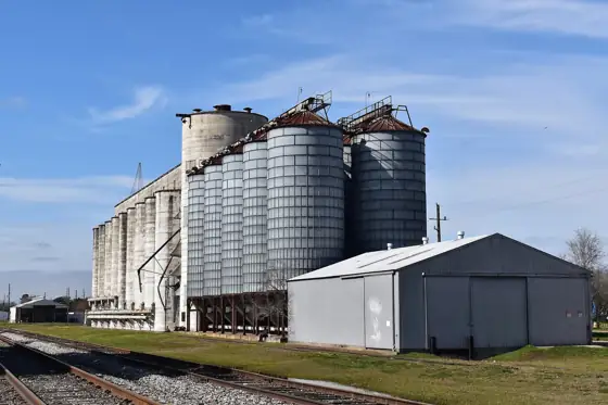
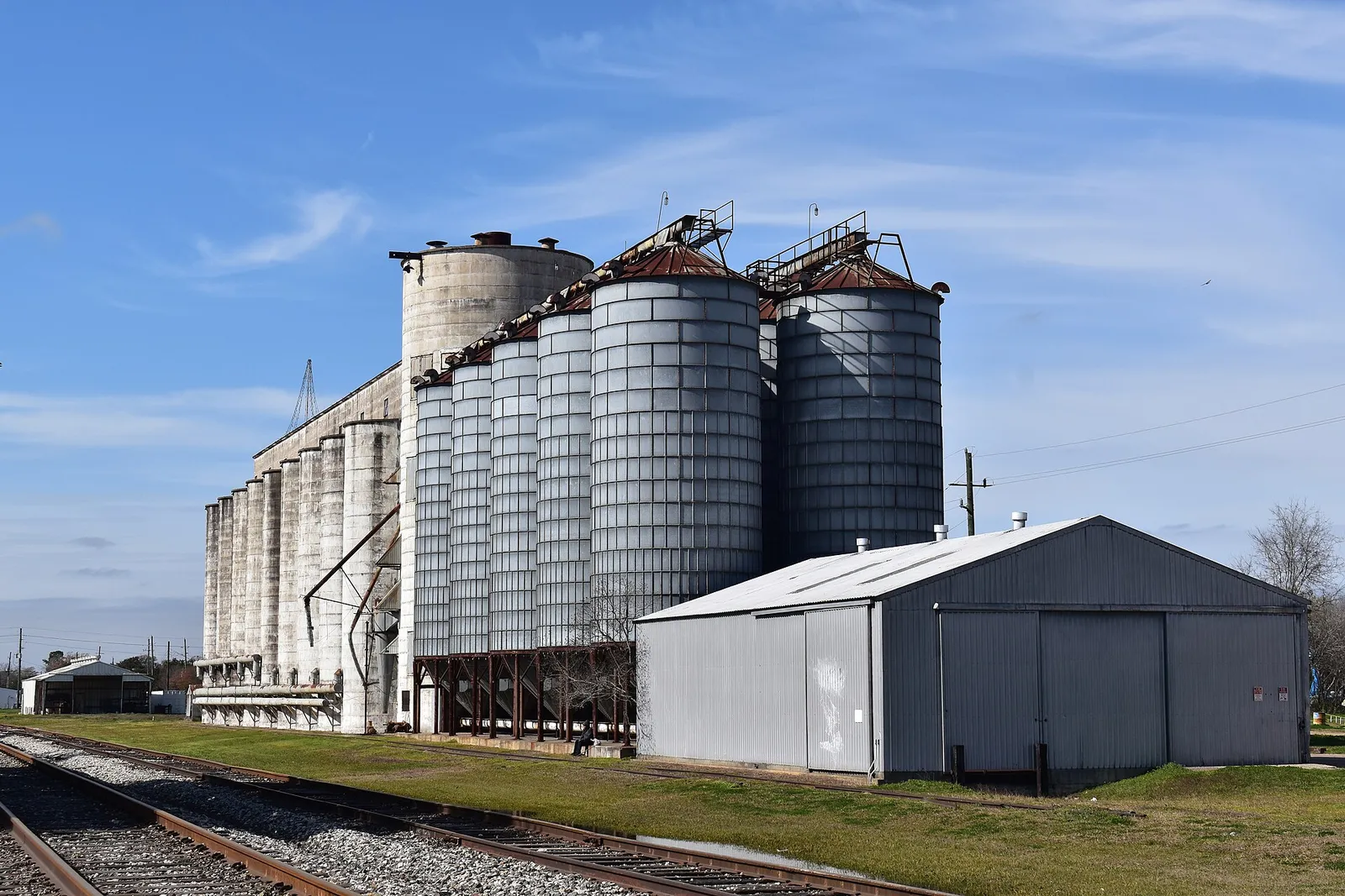
Historic rice silos, Katy. Photo: Chday, CC0, via Wikimedia Commons. Illustrative photo of the area.
Region
West Houston
Katy, Cinco Ranch, Fulshear, the Energy Corridor and Memorial
West Houston follows I-10 from the Memorial area through the Energy Corridor to Katy, Cinco Ranch and Fulshear. It mixes 1960s neighborhoods near Memorial with newer master-planned communities farther west.
Katy Mills, an indoor outlet center near I-10 and Pin Oak Road, lists more than 175 stores, and LaCenterra at Cinco Ranch is a 34-acre mixed-use center at the Grand Parkway.
HAR's 2025 facts show median years built of 1963 to 1968 across Memorial West subdivisions, with HAR 2025 median market values from $531,025 in Nottingham West to $1,098,995 in Wilchester West.
Cinco Ranch West has a median year built of 2004 and a HAR 2025 median market value of $457,639. Elyson, with a median year built of 2021, shows $444,213.
Cypress Creek, northwest Harris County. Photo: LittleT889, CC BY-SA 4.0, via Wikimedia Commons. Illustrative photo of the area.
Region
Northwest Houston
Cypress, Bridgeland, Towne Lake and Tomball
Northwest Houston runs along US 290 and SH 249 through Cypress and Tomball. Lake-centered master plans such as Bridgeland and Towne Lake sit alongside 2000s subdivisions and Tomball's older town center.
This 876-acre Precinct 4 park on West Road has a lake that doubles as flood detention, 7.8 miles of hike and bike trail, fishing and non-motorized boating.
Towne Lake has a median year built of 2018 and a HAR 2025 median market value of $596,525. In Bridgeland, HAR 2025 median market values are $485,987 in Parkland Village and $413,727 in Bridgeland Central.
Fairfield Village West has a median year built of 2003 and a HAR 2025 median market value of $352,106. Cypress Creek Lakes, built around 2013, shows $563,971.
HAR reports Tomball by subdivision: the HAR 2025 median market value is $270,585 in the subdivision named Tomball and $432,132 in Villages of Northpointe, which has a median year built of 2006.
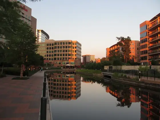
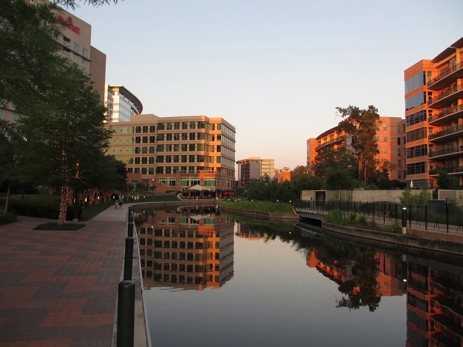
The Woodlands Waterway. Photo: Thewayne11, CC BY-SA 3.0, via Wikimedia Commons. Illustrative photo of the area.
Region
North Houston
The Woodlands, Spring, Klein, Conroe, Magnolia and Montgomery
North Houston follows I-45 through Spring and Klein to The Woodlands and Conroe, with Magnolia and Montgomery to the west. The Woodlands is a major job center of its own, and newer master plans continue north toward Conroe.
Howard Hughes reports more than 2,600 businesses and nearly 72,000 jobs in The Woodlands, with more than 36 million square feet of commercial, retail, medical and institutional space.
Bayou Land Conservancy says about 14.5 miles of Spring Creek Greenway trail are open, part of a planned corridor of more than 40 miles from SH 249 to Kingwood.
Grogan's Mill, one of the original villages, has a median year built of 1981 and a HAR 2025 median market value of $349,995. Creekside Park, built around 2011, shows $752,115.
Champion Forest in Spring has a median year built of 1982 and a HAR 2025 median market value of $425,941. Kleinwood, built around 1977, shows $273,361.
Grand Central Park in Conroe has a median year built of 2021 and a HAR 2025 median market value of $466,023. Mostyn Manor in Magnolia shows $636,000 on a median lot of 21,824 sq ft.
Lake Houston from the air. Photo: Famartin, CC BY-SA 4.0, via Wikimedia Commons. Illustrative photo of the area.
Region
Northeast Houston and Lake Houston
Kingwood, Humble, Atascocita, Porter, New Caney and Summerwood
Northeast Houston wraps around Lake Houston along US 59/I-69 and West Lake Houston Parkway. It includes established Kingwood villages, Atascocita and Summerwood, and newer communities in Porter and New Caney.
Trailwood Village has a median year built of 1974 and a HAR 2025 median market value of $328,077. Kings Point Village, built around 1991, shows $588,713.
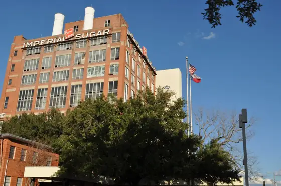
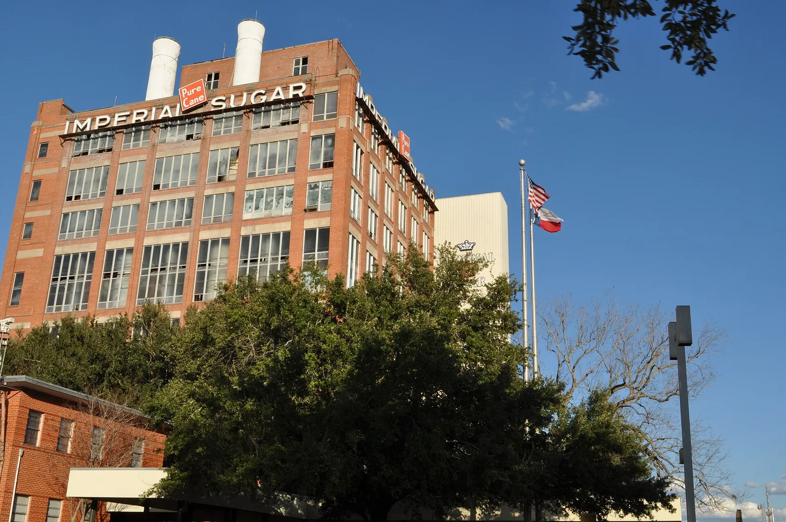
Historic Imperial Sugar refinery, Sugar Land. Photo: Kylelovesyou, CC BY 3.0, via Wikimedia Commons. Illustrative photo of the area.
Region
Southwest Houston
Sugar Land, Richmond, Rosenberg, Missouri City and Sienna
Southwest Houston follows US 59/I-69 into Fort Bend County through Sugar Land, Missouri City, Richmond and Rosenberg. It has city park systems, golf communities such as Sienna and newer master plans near the Brazos River.
Houston First lists Constellation Field in Sugar Land for minor league baseball and the Fort Bend County Epicenter in Rosenberg as home of LOVB Houston volleyball.
Telfair has a median year built of 2009 and a HAR 2025 median market value of $721,631. The First Colony MUD #5 section, built around 1993, shows $706,484.
Quail Valley East has a median year built of 1975 and a HAR 2025 median market value of $225,490. Sienna's Village of Bees Creek, built around 2014, shows $696,516.
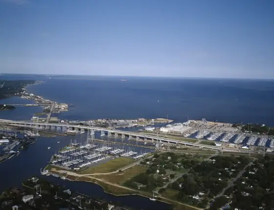
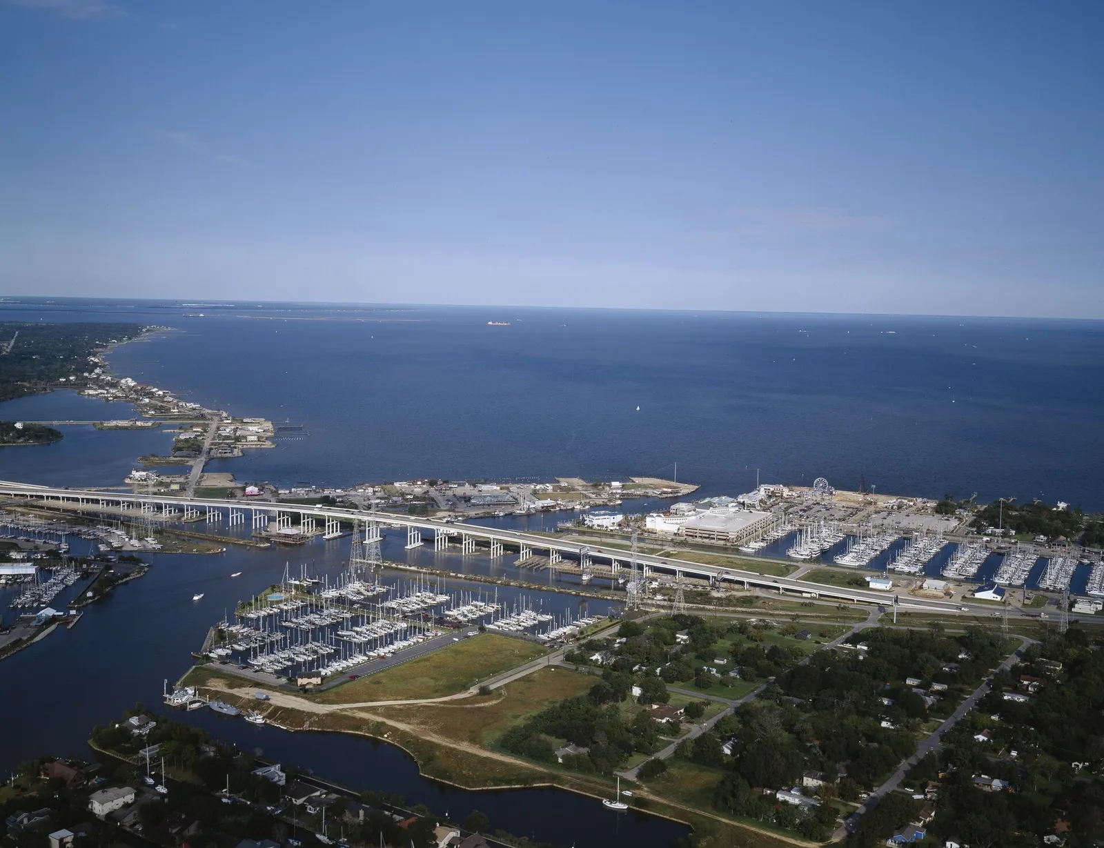
Clear Lake Marina on the Clear Lake waterfront. Photo: Carol M. Highsmith, Public domain, via Wikimedia Commons. Illustrative photo of the area.
Region
South and Southeast Houston
Pearland, Friendswood, League City, Clear Lake and Webster
South and Southeast Houston runs from Pearland and Friendswood along SH 288 to Clear Lake, Webster and League City along I-45. NASA's Johnson Space Center and Clear Lake's access to Galveston Bay shape the area.
Space Center Houston, the official visitor center of NASA Johnson Space Center, is at 1601 E. NASA Parkway and draws nearly 1.3 million visitors a year.
League City has 15 parks, including Hometown Heroes Park and the Dudney Clear Creek Nature Center, and plans a park of more than 100 acres on its west side.
HAR's 2025 facts give Clear Lake City a median year built of 1966 across 1,613 single-family properties and a HAR 2025 median market value of $269,833.
Hillwood's Legacy, a master plan of more than 700 acres on the Friendswood and League City border, plans about 1,630 homes, with first residents in early 2026.
Homes in Seabrook and other areas east of SH 146, and throughout Galveston and Brazoria counties, fall in TWIA's coverage area, where a TDI windstorm certificate is needed for eligibility.
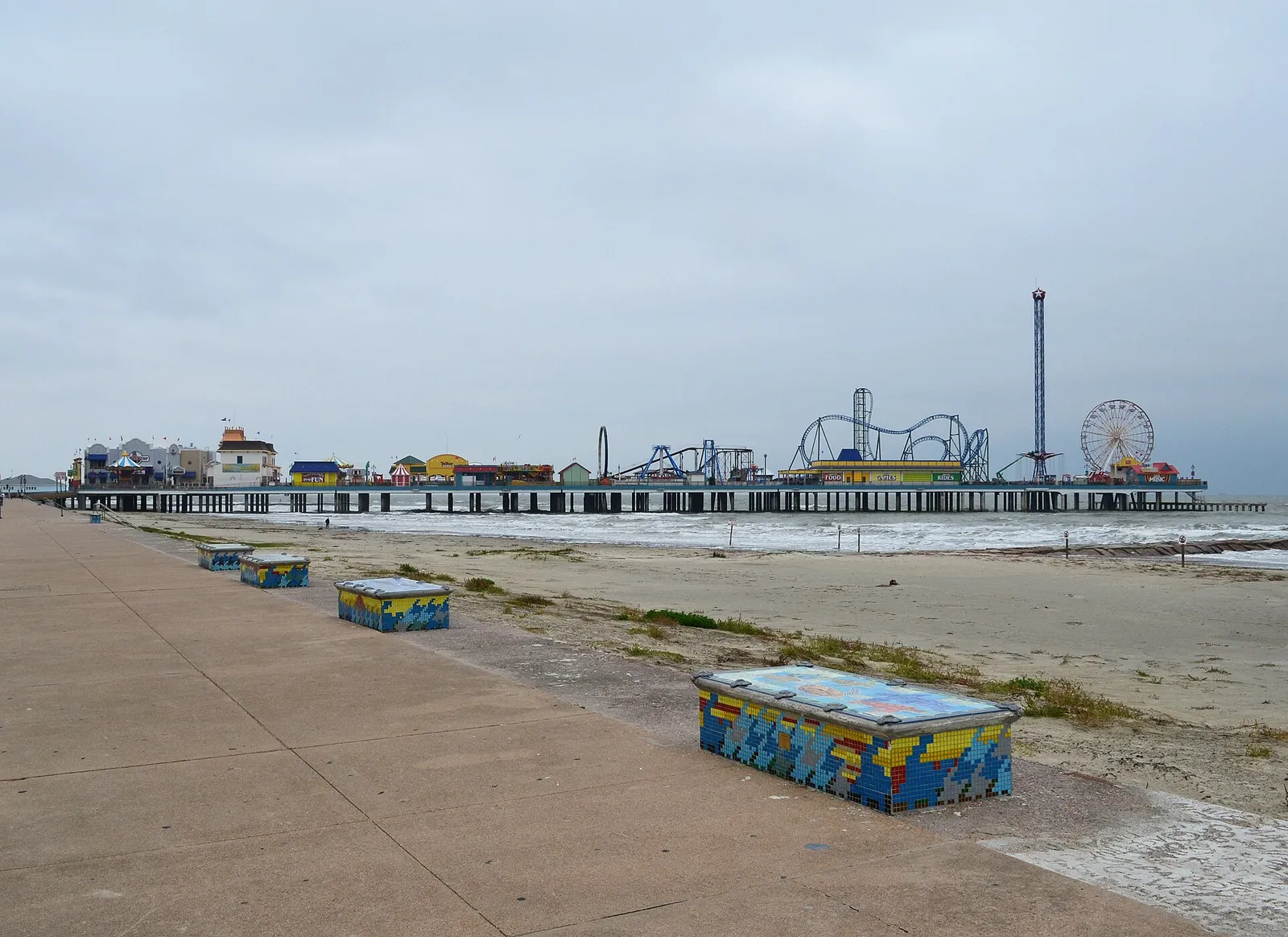
Seawall Boulevard and the Pleasure Pier, Galveston. Photo: Patrick Feller, CC BY 2.0, via Wikimedia Commons. Illustrative photo of the area.
Region
Other surrounding communities
Galveston, Baytown, Lake Conroe, Waller and the rest of the metro
Beyond the main suburbs are Galveston on the Gulf, Baytown on the Ship Channel and the Lake Conroe shoreline. Waller, Hockley, Dayton and Liberty County add more rural options.
Lifestyle
Galveston Seawall
Galveston's Seawall runs more than 10 miles, and Visit Galveston calls its sidewalk the longest continuous sidewalk in the United States.
Bentwater Yacht & Country Club lists 54 holes on three private courses, and April Sound Country Club has 27 holes and private boat launches for members.
The City of Galveston requires the lowest floor of new or substantially improved buildings in the 100-year floodplain to sit 18 inches above base flood elevation.
Filter every community guide on this site by facts, not opinions: HAR’s 2025 median market values, home age and lot size, and straight-line distance to where you will work. Then compare up to three side by side.
Side by side
Market values are HAR’s 2025 Facts for each neighborhood (not sale prices); a community with several HAR neighborhoods shows the range. Distances are straight-line miles from each community’s approximate center, not driving times. Golf courses and parks come from this site’s sourced directories; water from U.S. Census area-water data. Results are not a ranking or a recommendation, and they never use anything about the people who live in a place. Confirm taxes, HOA dues and flood information for each address.
Talk for 15 minutes. Tell Michael your timing, budget, commute and must-haves. You get a short list of areas worth your time.
Get preapproved with a local lender. It makes a short house-hunting trip workable. You can choose any lender.
Research the addresses, not just the area. Taxes, MUDs, flood history and HOA rules change street by street. The guide shows where to look.
Plan one focused trip. See the short list in person, drive your commute at the hour you would travel, then write an offer with an option period for inspections.
Facts are from the sources linked next to each one, checked Nov. 3, 2026. Photos are illustrative, from Wikimedia Commons under the licenses shown. Michael O’Neal is a licensed real estate broker (TREC #624124), not an attorney, engineer, insurance agent or tax adviser.
The O’Neal Insider · Free weekly
Get the Houston Neighborhood Insider.
Local events, neighborhood updates, and real estate insights for the areas you care about. Read the latest edition.